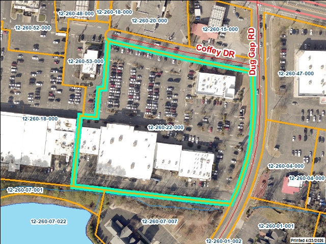
Whitfield County Tax Parcel Information

Owner and Parcel Information

Parcel Number 12-260-22-000
Realkey 25062
Property Record Card Click Here
GIS Map Map
Owner Name WALNUT AVENUE PARTNERS II LLC
Owner Address C/O POER MISSY SHEPHERD
Owner Address 2 3520 PIEDMONT ROAD NE
Owner Address 3 SUITE 410
Owner City ATLANTA
Owner State GA
Owner Zip 30305
Latitude 34.758197
Longitude -84.99149434
Property Information
Class Commercial
Strata Lot
Tax District TAD 5 City of Dalton
Neighborhood RETAIL
Legal Description DUG GAP RD WALNUT AVE
Total Acres 4.42
Zoning See GIS Map
GMD\Map Number 058
Subdivision
Subdivision Phase
Subdivision Section 0009
Subdivision Block
Subdivision Lot
Comments:
Appeals Information
Appeal Year 2010
Appeal Status Resolved
Appeal Year 2013
Appeal Status Resolved
Appeal Year 2014
Appeal Status Resolved
Appeal Year 2019
Appeal Status Resolved
Appeal Year 2022
Appeal Status Resolved
Parcel Address
Parcel House Number 1323
Parcel Street Extension
Parcel Street Direction W
Parcel Street Name WALNUT
Parcel Street Units
Parcel Street Type AVE
Current Fair Market Value Information
Previous 5550028
Current 5749519
Land 1853775
Residential Improvement
Commercial Improvement 3895744
Accessory Improvement
Conservation Use Value
Historical Fair Market Value Information
2023 4490057
2022 4490057
2021 4490057
Exemption Information
Homestead S0
Preferential Year
Conservation Use Year
Historical Year
Historical Val 0
EZ year
EZ Val 0
 GIS Quickmap
Launch Interactive GIS Map
 For the current GIS map of this parcel, click on the Quickmap to launch the interactive map viewer
 Tax Commissioner Information
  Before making payment verify the amount due with the Tax Commissioner s office at 706-275-7510
Tax Bill Recipient WALNUT AVENUE PARTNERS II LLC
Year 2025
Parcel Number 12-260-22-000
Bill 239408
Exemption Type
Account No. 7044394
Millage Rate 0
Fair Market Value 5749519
Assessed Value 2299807
Prior Years Tax Data Tax
Legal Description DUG GAP RD WALNUT AVE
Sale Date
Taxes Due 66136.72
Taxes Due Date 1/20/2026
Taxes Paid 66136.72
Taxes Paid Date 2/4/2026 11:52:21 AM
Current Due 0
Back Taxes 0
Total Due 0
   
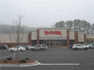
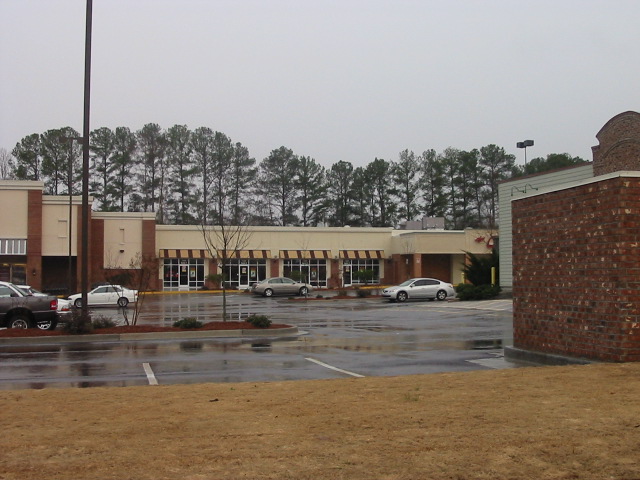
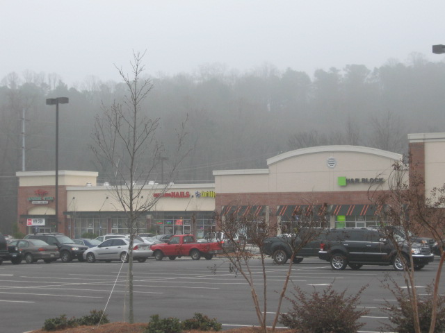
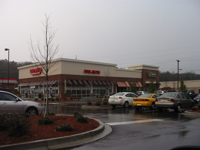
 Commercial Structure Information
General
Improvement Number 1
Section Number 1
Sketch Click Here
Class Commercial
Strata Improvement
Built As *Nbhd Shopping Center
Used As *Nbhd Shopping Center
Grade 100
Physical Depreciation 0.7
Structure value 1764956
Section Value 1764956
Total Improvement Value 3895744
Comments:
Construction Information
Construction Type Wood/Steel Combination
Wall Height 18
Year Built 2007
Effective Year Built
Section Area 26250
Total Building Area 48850
Plumbing
One Fixture 0
Two Fixture 3
Three Fixture 0
Bath\Kitchen 0
1.5 Bath\Kitchen 0
2 Bath\Kitchen 0


General
Improvement Number 1
Section Number 2
Sketch Click Here
Class Commercial
Strata Improvement
Built As *Nbhd Shopping Center
Used As *Nbhd Shopping Center
Grade 100
Physical Depreciation 0.7
Structure value 461408
Section Value 461408
Total Improvement Value 3895744
Comments:
Construction Information
Construction Type Wood/Steel Combination
Wall Height 18
Year Built 2007
Effective Year Built
Section Area 6400
Total Building Area 6400
Plumbing
One Fixture 0
Two Fixture 0
Three Fixture 0
Bath\Kitchen 0
1.5 Bath\Kitchen 0
2 Bath\Kitchen 0


General
Improvement Number 1
Section Number 3
Sketch Click Here
Class Commercial
Strata Improvement
Built As *Nbhd Shopping Center
Used As *Nbhd Shopping Center
Grade 100
Physical Depreciation 0.7
Structure value 1141745
Section Value 1141745
Total Improvement Value 3895744
Comments:
Construction Information
Construction Type Wood/Steel Combination
Wall Height 18
Year Built 2008
Effective Year Built
Section Area 16200
Total Building Area 16200
Plumbing
One Fixture 0
Two Fixture 0
Three Fixture 0
Bath\Kitchen 0
1.5 Bath\Kitchen 0
2 Bath\Kitchen 0


General
Improvement Number 2
Section Number 1
Sketch Click Here
Class Commercial
Strata Improvement
Built As *Nbhd Shopping Center
Used As *Nbhd Shopping Center
Grade 100
Physical Depreciation 0.7
Structure value 527635
Section Value 527635
Total Improvement Value 3895744
Comments:
Construction Information
Construction Type Wood/Steel Combination
Wall Height 14
Year Built 2008
Effective Year Built
Section Area 7296
Total Building Area 7296
Plumbing
One Fixture 0
Two Fixture 0
Three Fixture 0
Bath\Kitchen 0
1.5 Bath\Kitchen 0
2 Bath\Kitchen 0


 Residential Structure Information
 This parcel does not have any residential structures to display
 Accessory Information
 This parcel does not have any accessories to display
 Sales Information
Grantee WALNUT AVENUE PARTNERS LLC
Grantor BROOKER FAMILY PROPERTIES LLLP
Sale Price 3340000
Sale Date 4/26/2006
Deed Book/Page 4749 18
Deed Link Click Here
Class Commercial
Strata Improvement
Reason
State N
PT-61 PT-61 155-2006-001445
Comments WARRANTY DEED Walnut Avenue Partners own Dalton
Grantee BROOKER FAMILY PROPERTIES LLLP
Grantor
Sale Price 836410
Sale Date 6/1/1997
Deed Book/Page 2890 83
Deed Link Click Here
Class Commercial
Strata Lot
Reason
State N
PT-61 -000000
Comments 3533-258 (EASEMENT AGREEMENT) 09-24-01